Lone Fir Loop Trail 7.3.11
After a day of cragging at Mazama and some ice cream over in Winthrop, we headed back to our campground near Washington Pass, Lone Fir Campground. We still had some daylight so Aaron suggested we hike on the trail he found at the campground. We walked up to the start and noticed a sign on the board that read: Use extreme caution. Storm damage and winter damage along trail. We thought sure, some winter damage - how bad could it really be? It's a campground trail - and started off. The trail was paved for the first quarter mile or so. We laughed about the difficult trail (in comparison to our normal outings at least) and continued along. We crossed several bridges, finding one with a little damage which only confirmed that the initial warning wasn't very grave.

What a scary bridge crossing, hanging on for dear life

Oh no, a fork in the trail! Which way do we go?
We soon came to the fork in the trail and having learned well from watching Disney movies growing up, we took the brighter, nicely maintained one. We soon came to the Cutthroat Creek and swallowed our earlier words and laughter. The bridge was legitimately out and in its place was a giant log. We weren't expecting a log crossing but away we went. Aaron went first and I soon followed, butt scooching my way across. The water was flowing pretty quickly below. Once on the other side, Aaron decided to check out the remnants of the bridge, then we continued on.

Aaron butt scooching across the log, a very effective method of log crossing
Not too much further up the trail we came to another wooden path in shambles through a bog area. Luckily they had put some logs down so we continued across those.

Crossing some logs through a section with water all around
After that section the trail was nice again. We gained a little elevation and passed lots of streams. We were wondering what the second creek crossing would be like, since we knew we had to cross back over to get to our campsite. We heard the creek running below and finally made our way to it. The bridge was also out but the new log crossing was a little more developed than the first. The top was cut down to create a flat surface for walking and there were wooden poles attached for an eventual hand rail. I was glad to get a reprieve from but scooching as my hands were still full of sap from the first crossing.

Second log crossing, much more developed
After that we followed the well maintained trail back to camp, avoiding the occasional mud pit. We found some fun trees and a few flowers along the way. Soon we were back at the start of the trail and had some fun trying to take a jumping picture. (I entertain myself by taking pictures - can you tell?) It was a great little walk with some real excitement to use the remaining couple hours of daylight before starting the fire up and roasting some s'mores.
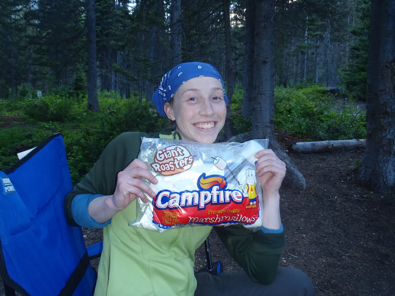
Time for s'mores!
View Lone Fir Loop Trail 7.3.11 in a larger map

The trail at the campground

2 mile loop - whew, it was tough
Stats
Trip Stats Part I
The GPS went a little crazy, as usual, so it split our hike into a couple parts. This first part shows us crossing Highway 20 which we didn't do, but it gives you an idea.